

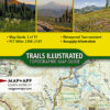
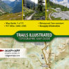
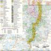

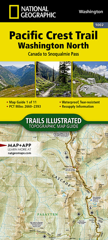
This Pacific Crest trail Map #1002 covers the northern section of Washington from Canada to Snoqualmie Pass.
The Washington North Topographic Map Guide follows the Pacific Crest Trail (PCT) as it traverses the heart of the northern Cascades, a remote and rugged environment characterized by deep valleys, steep mountain peaks, and wet weather. The trail follows a torturous path across ridges and high mountain passes, dropping into valley bottoms only to—once again—climb above tree line.
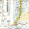
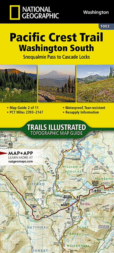
This Pacific Crest trail Map #1003 covers the southern section of Washington from Snoqualmie Pass to Cascade Locks (Oregon border).
The Washington South Topographic Map Guide follows the Pacific Crest Trail (PCT) as it travels through a landscape dotted with lakes, perennial snowfields, and small glaciers. In the heavily eroded, rugged mountains of central Washington, the PCT crosses steep ridges and high mountain passes. The trail skirts the base of Mount Adams and its volcanic fields covered in large lava flows and avalanche debris. As the PCT approaches the Oregon border it dramatically drops into the Columbia River Gorge and passes over the Columbia River on the Bridge of the Gods.
The PCT spans 2,650 miles from the Canadian border, through Washington, Oregon, and California to the southern terminus at the Mexican border. The famous trail crosses some of the most wild and scenic landscapes of the western U.S., including six national parks, 25 national forests, 48 wilderness areas, the volcanic Cascade Range of the Pacific Northwest, the snowcapped Sierra Nevada, and the Mojave and Sonoran deserts.
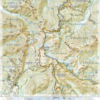
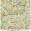
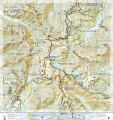
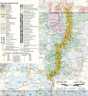
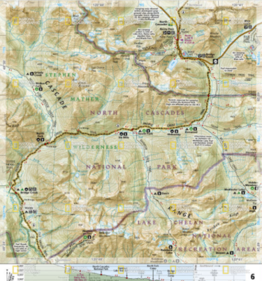
Each PCT Topographic Map Guide includes detailed topographic maps at a scale of almost 1 inch = 1 mile. Each page is centered on the PCT and overlaps with the adjacent pages so there is little chance of getting lost. Along the bottom of each page is a trail profile that shows the distance between camping areas, trailheads, and other points of interest. The map and trail profile provide a step by step visual guide to hiking the trail, mile by rugged mile. The Topographic Map Guide is built for all levels of hiking enthusiasts, from the day tripper to the multi month ‘thru-hiker’. The front pages of the printed Topographic Map Guide include resupply locations, health and safety information, and much more.
More convenient and easier to use than folded maps, but just as compact and lightweight, National Geographic’s Topographic Map Guide booklets are printed on “Backcountry Tough” waterproof, tear-resistant paper with stainless steel staples. A full UTM grid is printed on the map to aid with GPS navigation.


Reviews
There are no reviews yet.