

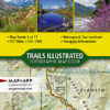
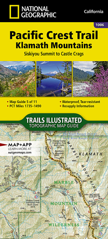

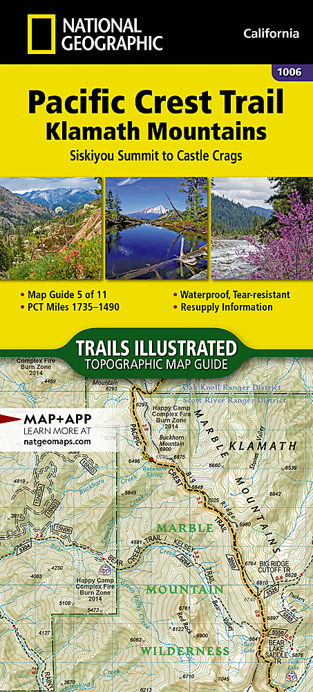
The Pacific Crest Trail map #1006 covers the northernmost section in California from Siskiyou Summit (Oregon border) to Castle Crags.
The Pacific Crest Trail (PCT) covered in the Klamath Mountains Topographic Map Guide in this part of northern California travels through the Klamath Mountains and parallels the southern end of the Cascade Range. The distinctive regions of the Cascade Range, Coast Ranges, and Central Valley converge at the Klamath Mountains, creating an environment with unparalleled diversity. The PCT reaches the Siskiyou Mountains near Ashland, Oregon, then travels through the Marble Mountains and Russian wilderness areas . As the PCT travels further south it passes through the Scott Mountains before arriving at the picturesque spires and domes of Castle Crags, a granite intrusion exposed by millions of years of erosion.
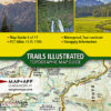
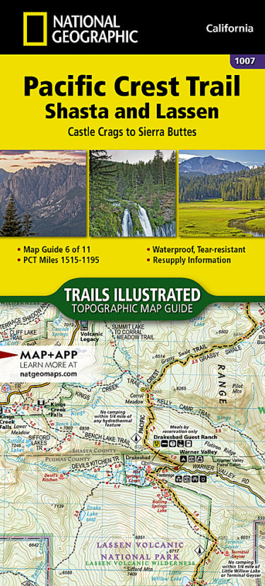
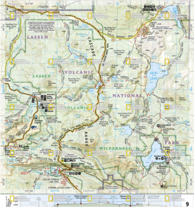
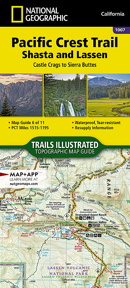
The Pacific Crest trail Map #1007 covers the section between Castle Crags and Sierra Buttes in California.
The Pacific Crest Trail (PCT) mapped in the Shasta and Lassen Topographic Map Guide travels through lush forests growing in volcanic soil as the trail leaves the southern Cascade Range and enters the Sierra Nevada. Northern California’s hiking season typically lasts from May to early November. Snow can remain at higher elevations until early to mid-June. The peak summer months can bring dangerous heat and infrequent sources of water; notably the infamous dry section of Hat Creek Rim. Highlights of this section include the Bucks Lake and Crags wilderness areas, McArthur-Burney Falls Memorial and Castle Crags state parks, and Lassen Volcanic National Park.
The PCT spans 2,650 miles from the Canadian border, through Washington, Oregon, and California to the southern terminus at the Mexican border. The famous trail crosses some of the most wild and scenic landscapes of the western U.S., including six national parks, 25 national forests, 48 wilderness areas, the volcanic Cascade Range of the Pacific Northwest, the snowcapped Sierra Nevada, and the Mojave and Sonoran deserts.
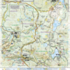
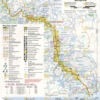
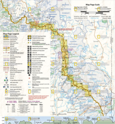
Each PCT Topographic Map Guide includes detailed topographic maps at a scale of almost 1 inch = 1 mile. Each page is centered on the PCT and overlaps with the adjacent pages so there is little chance of getting lost. Along the bottom of each page is a trail profile that shows the distance between camping areas, trailheads, and other points of interest. The map and trail profile provide a step by step visual guide to hiking the trail, mile by rugged mile. The Topographic Map Guide is built for all levels of hiking enthusiasts, from the day tripper to the multi month ‘thru-hiker’. The front pages of the printed Topographic Map Guide include resupply locations, health and safety information, and much more.
More convenient and easier to use than folded maps, but just as compact and lightweight, National Geographic’s Topographic Map Guide booklets are printed on “Backcountry Tough” waterproof, tear-resistant paper with stainless steel staples. A full UTM grid is printed on the map to aid with GPS navigation.


Reviews
There are no reviews yet.