
Scale 1:63,360

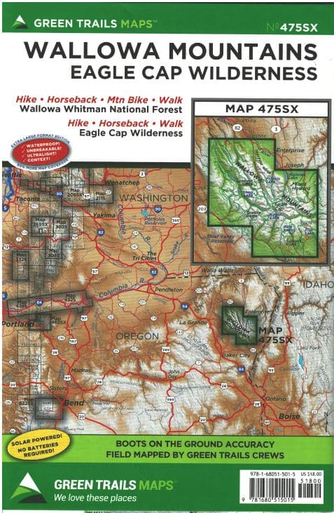

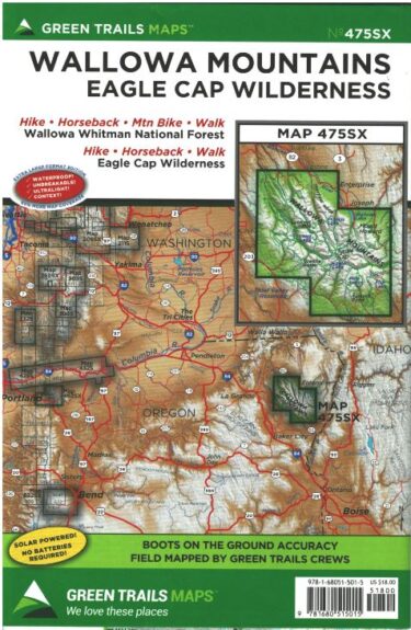
Wallowa Mountains Eagle Cap Wilderness – Green Trail Maps #475SX
$18.00
Irreplaceable navigational aid for Oregon’s largest wilderness area
Wallowa Mountains Eagle Cap Wilderness – Green Trail Maps #475SX
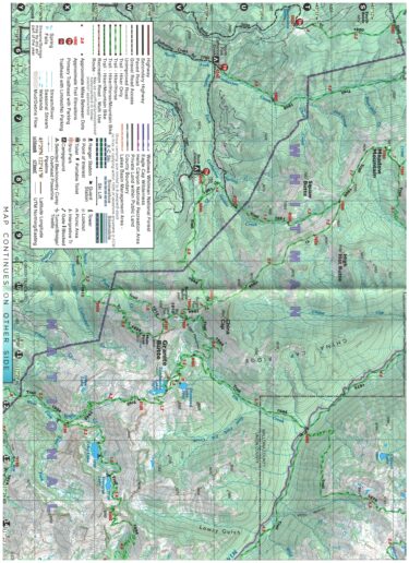
Map Scale: 1:63,360
Map Dimensions: 22.5″ x 30″
This water-proof, tear-resistant map is your key to the Wallowa Mountains of the Eagle Cap Wilderness! While there are many high-tech options for outdoor navigation nowadays, still nothing beats a printed map for reliability in the field. This Green Trails map includes information on hiking, mountain biking and horseback riding in Oregon’s largest wilderness area
Each map includes:
Trails coded for hikers only, as well as mountain bikers, stock, skiers, and snowmobilers
Icons for parking and picnic areas, tent camping and RV spaces, bathrooms and backcountry toilets, points of interest, waterfalls, springs, and gates
Dot-to-dot trail distances, contour intervals, and adjacent map numbers
Land designations: national and state parks, national forest, wilderness, DNR land, private land, tribal land, and others
Map Scale: 1:63360
You must be logged in to post a review.


Reviews
There are no reviews yet.