

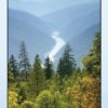
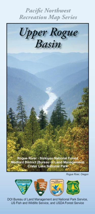
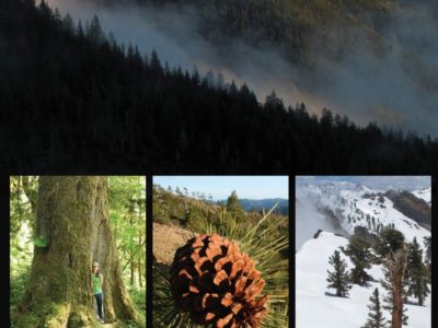
Located in southwestern Oregon, federal public lands include nearly 1.8 million acres of National Forest lands and 876,000 acres of BLM lands, and are home to outstanding fish and wildlife resources, botanical diversity, geologic wonders, and breathtaking landscapes of mountains, meadows, rivers, lakes, and streams.
The area’s unique and diverse landscape is composed of two distinct geologic provinces: the Cascade Range and the Siskiyou Mountains. The Cascade Range is dominated by snowcapped volcanic peaks such as 9,495 foot Mt. McLoughlin, located within the Sky Lakes Wilderness . The Siskiyous are part of the Klamath-Siskiyou ecoregion which embodies the most complex soils, geology, landscape, and plant communities in the Pacific Northwest. The Siskiyou Mountains have never been subject to volcanism and glaciation. Rather, they are a result of rocks under heat and pressure folding through time.
- NEW IN 2021! Broadly covers:
- RRSNF
- Medford District – BLM
- Oregon Caves National Monument and Preserve
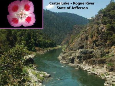
- Crater Lake National Park
- Wild Rogue Wilderness Area
- Red Buttes Wilderness Area
- Siskiyou Wilderness Area
- Rogue-Umpqua Divide Wilderness
- Sky Lakes Wilderness
- Soda Mountain Wilderness
- 1:126,720 scale (1/2″ = 1 mile)

Reviews
There are no reviews yet.