

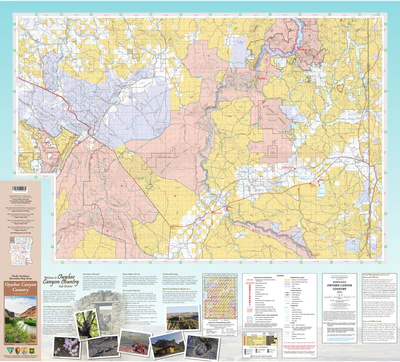
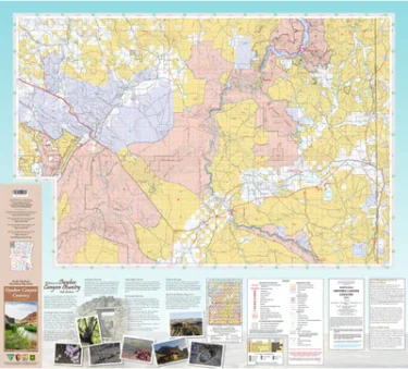
Product Details
Scale: 1/2 inch per mile (1:126,720)
Version/Publication Date: 2023
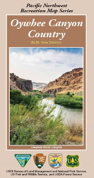
Regions: Owyhee Canyon Country, Oregon, USA
Media: Paper
Format: Folded
Additional Details
Description: Good for: Backroading, Camping, Hiking, Hunting, Off-roading, and more!
Height In Inches: 36.000
Length In Inches: 47.500
Two Sided: Yes
Languages: English


Reviews
There are no reviews yet.