


Shasta-Trinity National Forest Map
$19.95
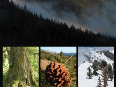
Come explore the mountains, lakes and rivers of the Shasta-Trinity National Forest! The map includes Mount Shasta, the Trinity Alps, Shasta Lake, and Trinity Lake.
The Shasta-Trinity National Forest was established by President Theodore Roosevelt’s proclamation of 1905. It encompasses over two million acres with over 6,278 miles of streams and rivers. National forests are managed for long term sustainability of natural resources and forest ecosystems.
-
Product DetailsProduct Number: 208249Series: CA-14Scale: 1:126,720Alternate ID: CA-14ISBN: 978-1-62811-419-5Version Date: 01/01/2016Regions: CACountries: USAMedia: PlasticFormat: FoldedAdditional DetailsDescription: SHASTA-TRINITY NATIONAL FOREST, CALIFORNIASurvey Date: 2016Print Date: 2016Height In Inches: 40.000Length In Inches: 54.000Boundary Type: Political UnitTwo Sided: YesPieces: 1Languages: English
-
Be the first to review “Shasta-Trinity National Forest Map”
You must be logged in to post a comment.


Reviews
There are no reviews yet.