


Land of Umpqua Pacific Northwest Recreation Map
$18.95
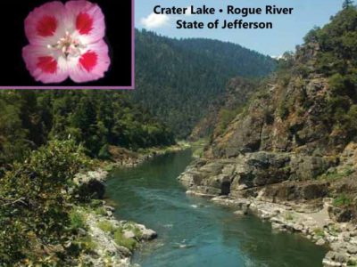
Explore Crater Lake, the Umpqua River, and old growth forests in between!
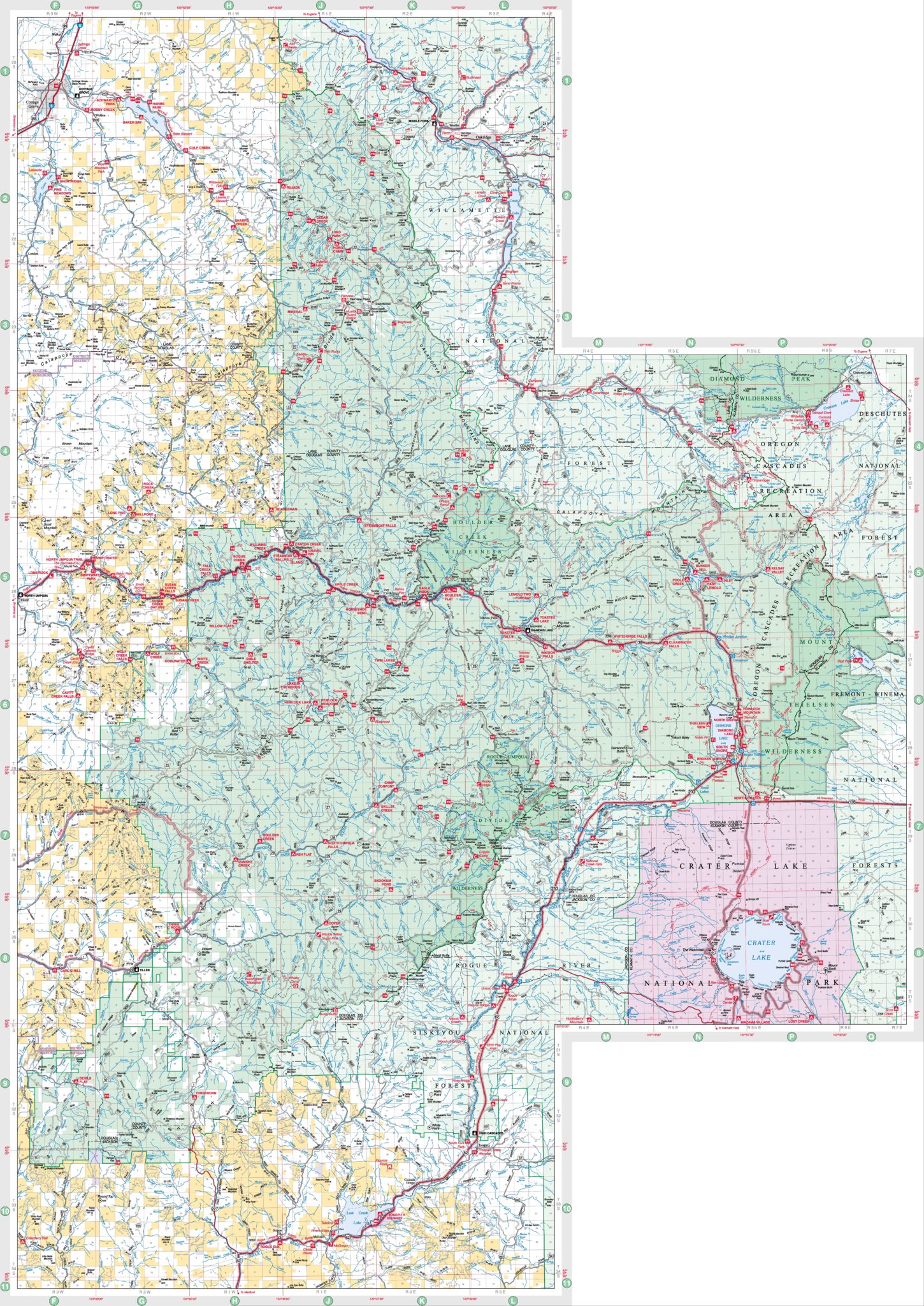
The Land of Umpqua Recreation Map shows the Umpqua National Forest and the Roseburg District Bureau of Land Management. It is useful for general trip planning and navigating the main state, county, and primary Forest Service roads.
Material: Full-color waterproof plastic
Scale: 1:126,720 (one half inch to the mile)
Details Included:
- Developed recreation sites (campgrounds, boat launches, day use areas)
- Main roads and trails
- Boundaries and land ownership
- Township / Range / Section
- Latitude / Longitude
- Topographic relief shading (not shown in sample)
Obtain a Map:
- View a free PDF map on your computer.
- Purchase a hardcopy map from the USGS Store.
- Purchase georeferenced digital maps for your smartphone through the Avenza Maps app. The Avenza Maps app is free of charge and available for most iPhone and Android products. All maps are geo-referenced and can work in conjunction with GPS-enabled devices to show your real-time location even without cell service or internet.
-
This is the new 2023 Land of Umpqua map in the Pacific Northwest Recreation Map Series. It has fantastic coverage of Umpqua national forest and the Roseburg district BLM roads. It is in a driving scale scale of 1:126,720Product DetailsProduct Number: ?Scale: 1:126,720Alternate ID:ISBN: 97816228115599-4Version Date: 2023Regions: ORCountries: USAMedia: paper? maybe tear resistant, Not PlasticFormat: Folded
-
Be the first to review “Land of Umpqua Pacific Northwest Recreation Map”
You must be logged in to post a comment.


Reviews
There are no reviews yet.